The GALERMI project, launched in 2012, aims to shed light on the various phases and modes of operation of an ancient aqueduct in the province of Syracuse. Over the course of its long history, the aqueduct has been transformed to meet the different needs of its users, and today irrigates the region. Its study requires the use of multi-disciplinary techniques that bring together paleo-environmentalists, archaeologists, architects and historians.
A development dating back thousands of years
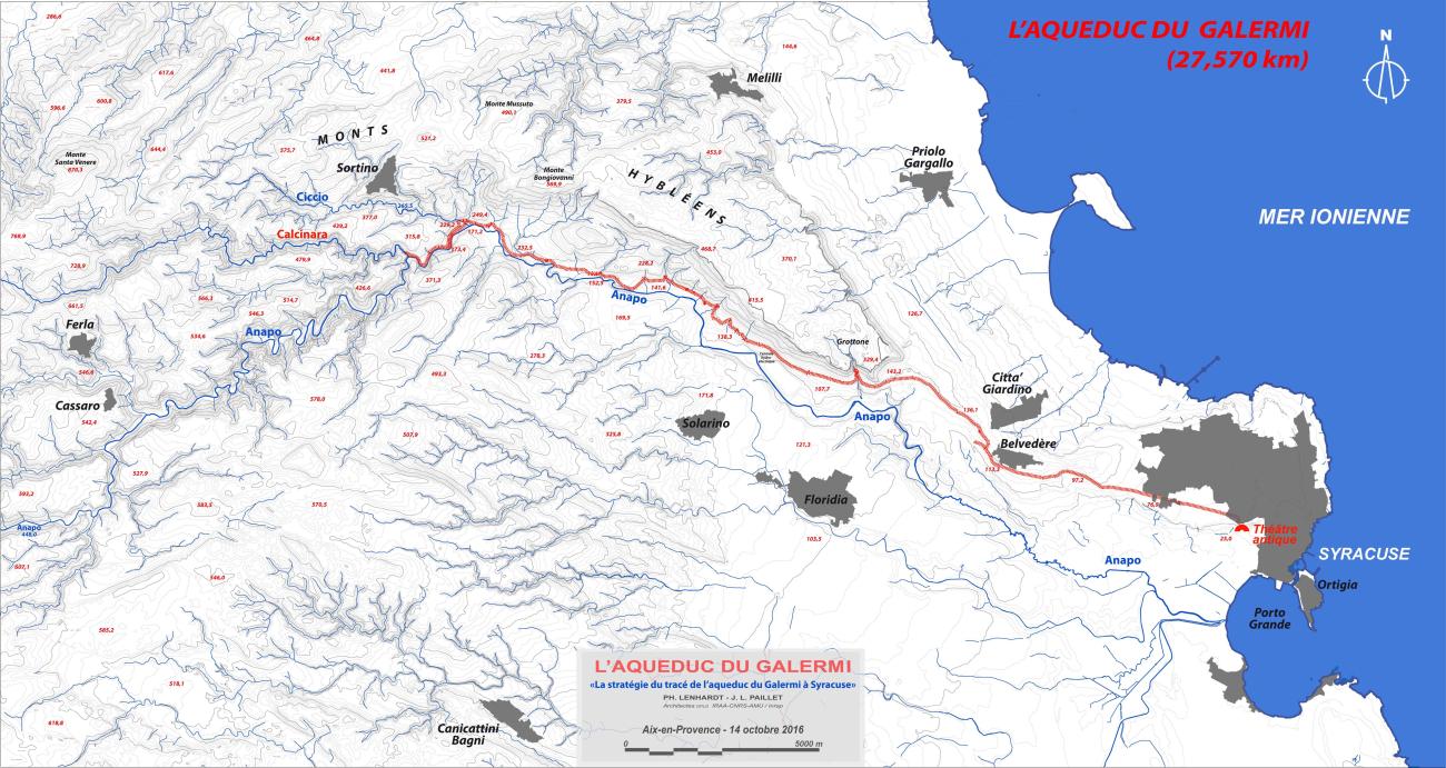
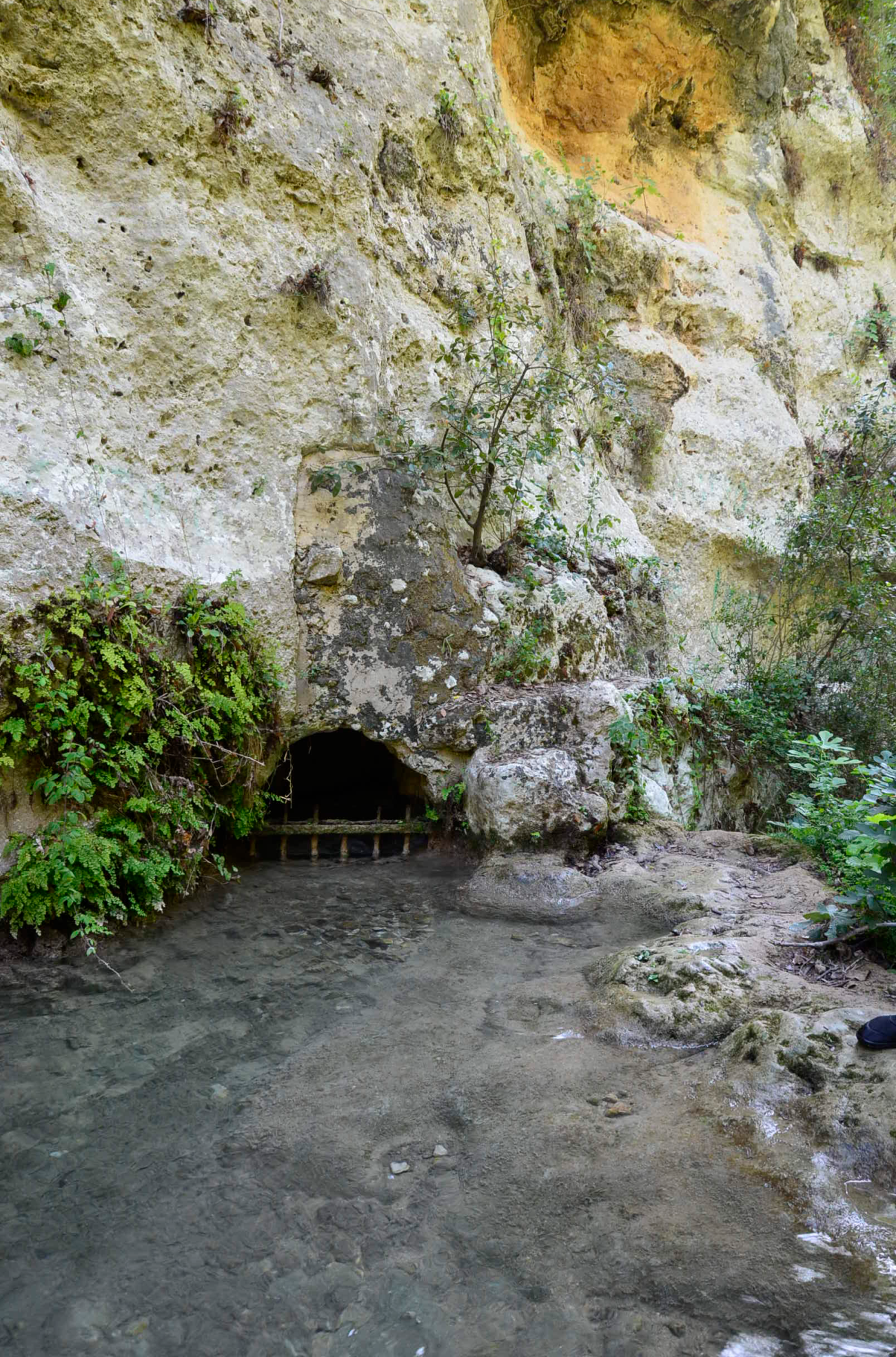
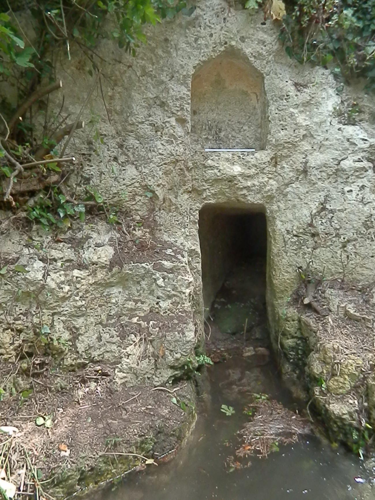
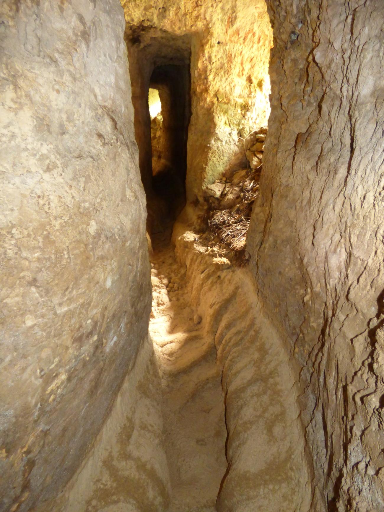
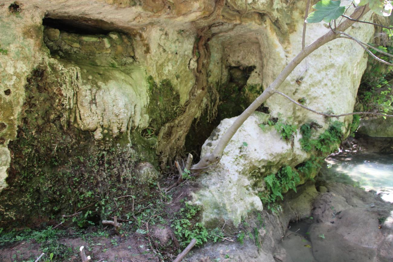
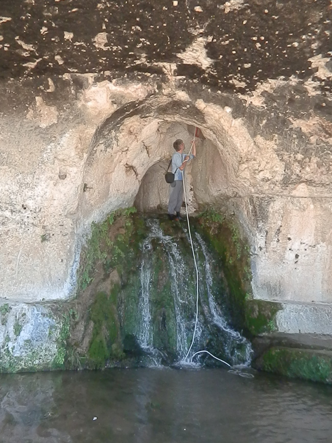
The Galermi aqueduct, which has supplied the city of Syracuse (Italy, Sicily) and its surrounding area since ancient times, probably since the 3rd century B.C., has been reworked and restored many times, first in ancient times, then in Byzantine times, and regularly since the 16th century. After supplying the ancient city with drinking water, it now irrigates citrus groves and the vegetable gardens of private individuals who hold annual concessions and benefit from water towers according to practices known in the Mediterranean at least since Roman times. The aqueduct has also been used for other purposes: between the 16th and 19th centuries, its motive power was used to turn mills, and in the 20th century to power the first hydroelectric plant in the province of Syracuse. The river is unique in that it runs entirely underground for almost 28km. There are no known engineering structures. Taking its source from at least two tributaries of the main river of the Syracuse plain, it plunges first into the karst cliffs of the Hyblean mountains, then into the sedimentary plain of the Anapo, where frequent landslides during the rainy seasons have obliged its users to reconfigure its gallery and pedestals, and sometimes to move it. In the Karst region, carbonate deposits are progressively obliterating the underground gallery, requiring regular interventions to unblock the pipe.
Abandoned by the Sicilian Region, which no longer invests the funds required for maintenance, the aqueduct is gradually filling up and collapsing. Today, it is threatened by slow destruction, and irrigators, who complain that they are not supported in their maintenance efforts, are intervening directly to restore and modify it. As a result, certain sections of the pipe as it runs through the sedimentary plain are now unusable for understanding the historic aqueduct.
The team
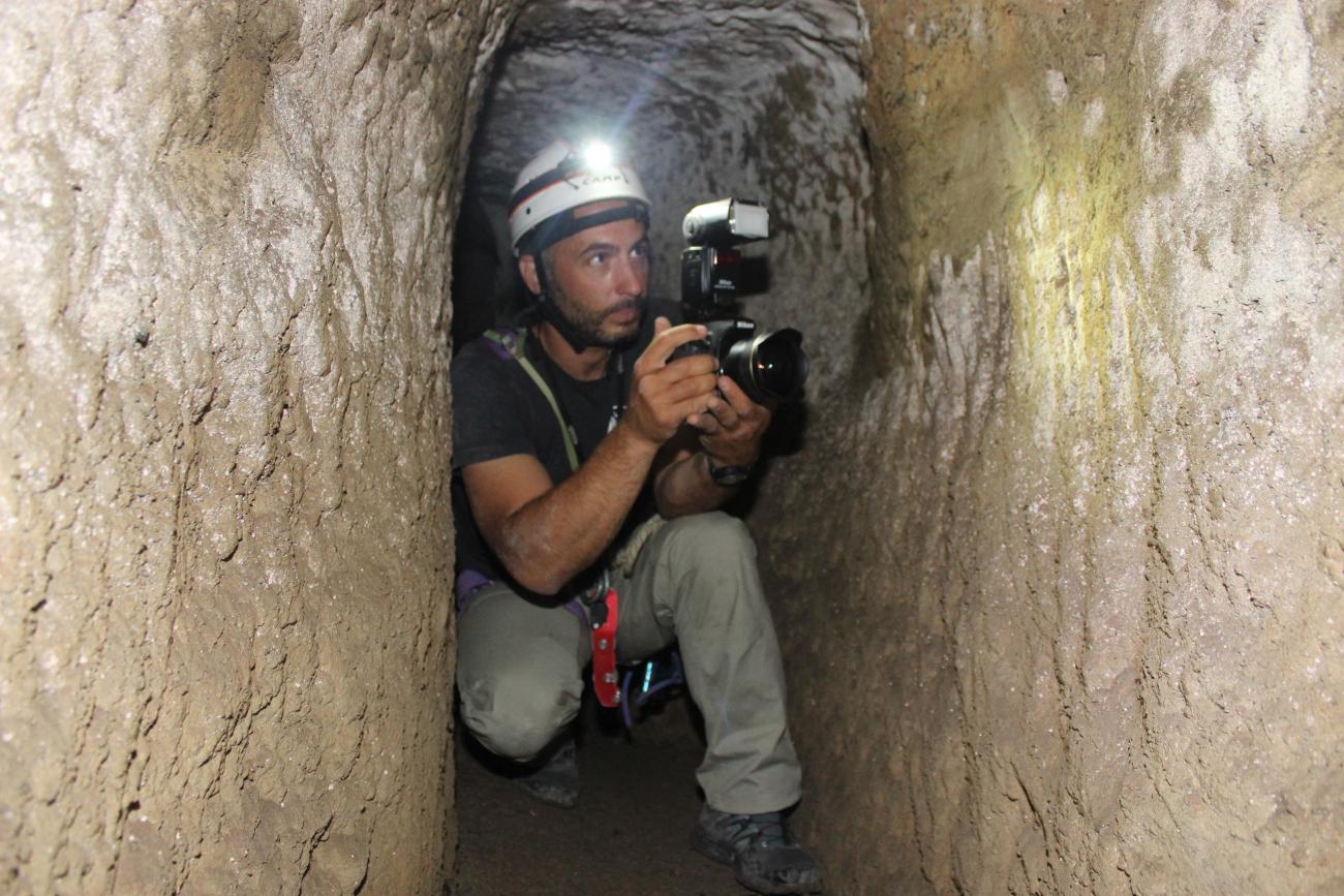
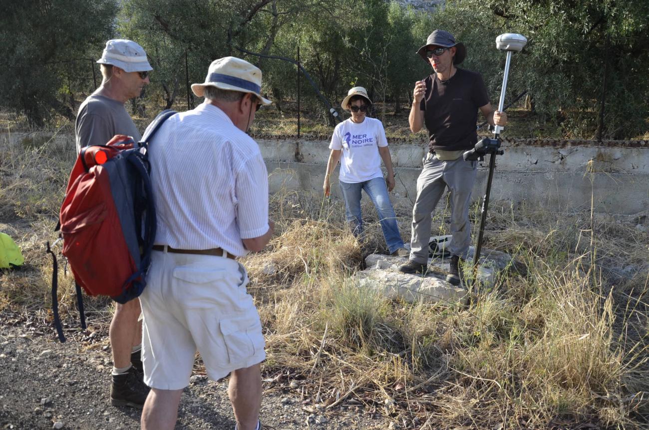
Since 2012, a team coordinated by Sophie Bouffier (CCJ) has been studying this aqueduct, and over the years has brought together colleagues, PhD students and some archaeology Masters students from the Centre Camille Jullian, LAMPEA, CEREGE, IRAA, as well as colleagues from laboratories or universities in France (Paris X Nanterre, ArScAn) or abroad (Palermo, Catania). The program is supported by the aqueduct's supervisory authorities, the Soprintendenza ai Beni Cultural e Ambientali di Siracusa and the Genio Civile, who issue the authorizations essential for fieldwork, and who, for the Genio Civile, take part in the day-to-day missions, providing invaluable information on the functioning of the aqueduct, its current features and its failures. At the same time, the team is working with Italian caving clubs to ensure safe passage through the underground gallery.
Scientific challenges
The aim of the project is to shed light on all the facets and metamorphoses of the aqueduct (diachrony: use from antiquity to the present day; uses and adaptation to the needs of local society) from a multidisciplinary perspective (archaeology, ancient, modern and contemporary history, environmental sciences, ethnology through surveys of irrigators and the aqueduct's guardians). The team thus focused on the history of the aqueduct and its function, its geological and environmental context, its architectural typology and its operation. As the development has marked the history of the Syracuse territory and the mentalities of its operators since ancient times, it has the advantage of paralleling different timescales and social and technical experiences in the same territory. It is thus a polysemous response to the different societal situations that the program seeks to understand.
Funding and activities
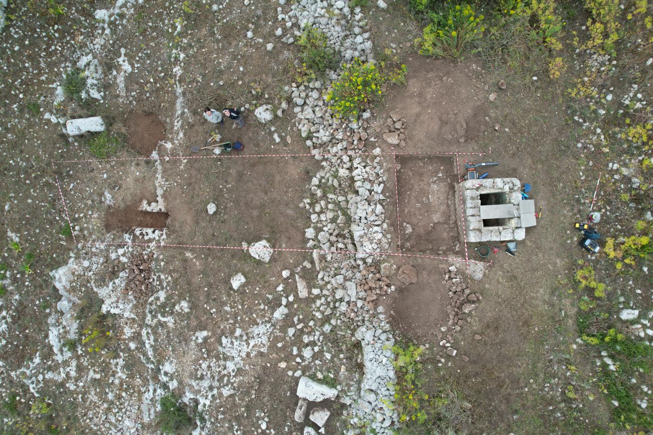
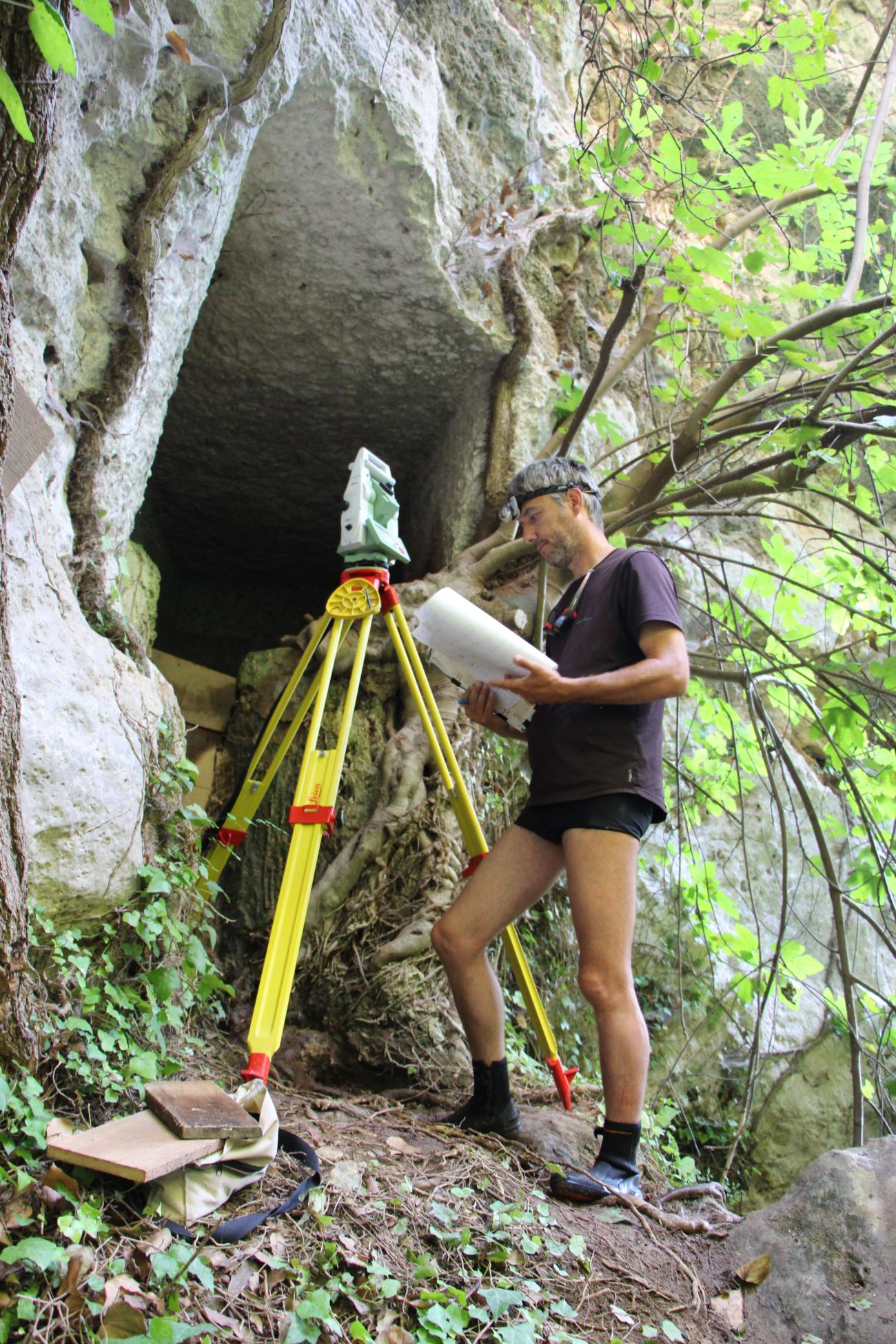
In addition to occasional support from IRAA (2009 and 2011), LabexMed (2012), and CCJ (2023), the program was funded by LabexMed between 2015 and 2016, which enabled surveys to be carried out, traditional topographic or photogrammetric surveys to be carried out, notably using 3D surveying, and some clean-up of abandoned portions. A second grant from the Amidex Foundation ( WaterTraces Interdisciplinarity Project - Water Traces in Mediterranean Sea before 1000 AD: From Resource to Storage, 2018-2021) continued the activity, focusing on new sectors and, in 2021, cleaning and excavating a strategically located manhole near the fortification, as well as analyzing mortar and concretion samples. In 2023, ARKAIA seed funding for a project entitled AQUEDUCOPTER aimed to facilitate topographical surveying in rugged, even submerged areas (the aqueduct being under water for 8 to 9 months /12), and to draw up an architectural survey of a sampled area, using a drone designed for exploring partially submerged galleries. The difficulty of the task has prevented the design of this experimental tool for the time being, but an initial collaboration has been launched between archaeologists and robotics researchers at the Aix-Marseille site on this type of heritage object.
First results
The Galermi program has enabled us to define the chronological phases of the aqueduct and to identify a new one (the Byzantine phase), as well as its typology and the architectural project followed by its designers and users. It has given rise to several publications, as well as an exhibition at the Paolo Orsi Regional Archaeological Museum in 2017-2018, a photographic montage by photographer Yves Jeanmougin, and an open-access documentary.
Scientific managers
- Sophie Bouffier (Aix Marseille Université - CCJ)
- Gabriella Ancona (Soprintendenza ai beni culturali e ambientali di Siracusa)
- Rosa Lanteri (Parco archeologico e paesaggistico di Siracusa, Eloro, Villa del Tellaro e Akrai)
- Giovanni Magro and Giorgio Nanì (Genio Civile)
Institute laboratory involved
- Center Camille Jullian (CCJ)
- Institute for Research on Ancient Architecture (IRAA)
- Mediterranean Laboratory of Prehistory Europe Africa (LAMPEA)
- Center for Research and Teaching in Environmental Geosciences (CEREGE)
- Institute of Movement Sciences (ISM)
Partner institutions and teams
- Soprintendenza ai beni Culturali e ambientali di Siracusa
- Parco archeologico e paesaggistico di Siracusa, Eloro, Villa del Tellaro e Akrai
- Genio Civile di Siracusa
- Università degli Studi di Palermo (Dipartimento Culture e Società e Dipartimento di Scienze della Terra e del Mare)
- Fondation Amidex (Aix-Marseille Université)