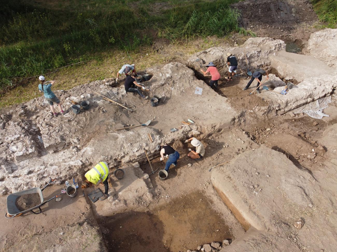
Since 2020, a collaborative scientific project (PCR) dedicated to the Roman port of Fréjus(Forum Iulii) has undertaken transdisciplinary field research to re-examine ancient data, acquire new information and reinterpret the entire ancient port area.
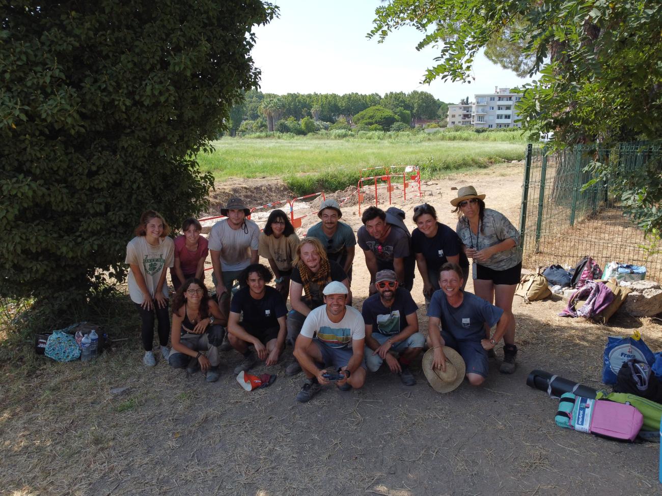
The "Roman Port of Fréjus" collective research program began in 2020. Led by the City of Fréjus' Archaeology and Heritage Department, in collaboration with the Centre Camille Jullian, it is made up of a multi-disciplinary team. Its fields of study cover many different aspects. It is subsidized by the French Ministry of Culture (SRA-PACA).
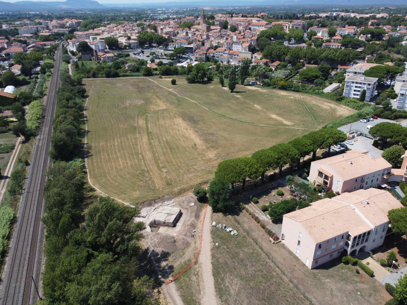
The fundamental questions specifically concern the harbour basin, and result from the discoveries made since 2005 thanks to preventive archaeology, which have enabled us to redefine the morphology of the coastline and therefore the shape of the harbour basin. The questioning of the existence of a natural lagoon or proto-lagoon, predating the construction of the port, requires us to reconsider its function and relative chronology. The significant evolution of the coastline and the progradation of the shoreline are established facts that necessarily enter into the understanding and interpretation of the port structures known on the site. Similarly, the chronology of harbour development, interdependent with the evolution of the coastline and the extension of the town, is one of the key points of research in the program. Finally, it was the specific construction techniques used in open-air harbours, combining submerged caissons and pozzolan concrete, that motivated the launch of these studies. All these questions prompted us to launch this collective research program, which includes data from both the RCP and preventive archaeology operations carried out in the area concerned.
While previous publications have helped us to understand the general organization and evolution of the famous Roman port, there are still a number of points that remain to be understood. These include the location of the ancient coastline, the depth of the port infrastructures and their chronology. By systematically combining geophysical tools (GPR, ERT and Magnetometry), geoarchaeological coring, pXRF geochemical measurements, photogrammetry and more conventional archaeological investigations, we are able to develop hypotheses that considerably alter our knowledge of the port.
Scientific directors
- Pierre Excoffon (City of Fréjus Archaeology and Heritage Department)
- Emmanuel Botte (CNRS - CCJ)
- Nicolas Carayon (Ipso Facto)
Institute laboratory involved
- Center Camille Jullian
Partner teams and institutions
- Town of Fréjus
- French Ministry of Culture (SRA - PACA)
- Société Ipso Facto (Marseille)